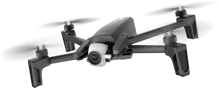
Optimizing Drone Usage
Learn how to maximize the efficiency of your drone operations with our expert tips and guidelines.
Read MoreAt Bird Vue Aerospace, we leverage cutting-edge technology to provide unparalleled geospatial solutions. Our streamlined processes ensure that you receive high-quality results efficiently and effectively.

We provide expert inspection services for your organization’s mission-critical assets using drone technology.

Bird Vue specializes in precise aerial surveys and mapping services that utilize the latest drone technology to capture high-resolution data. We provide accurate and efficient mapping solutions tailored to various industries.

As Rajasthan's first Remote Pilot Training Organisation under UAS Rules – 2021, we offer industry-renowned drone training courses. Our training equips your team with the skills necessary to operate drones safely and efficiently.

Bird Vue offers advanced drone solutions for agriculture, allowing for efficient crop analysis, precision spraying, and data-driven decision-making to enhance productivity and sustainability.

Our expertise extends to the manufacturing and assembling of drones tailored to specific operational requirements, utilizing cutting-edge technology and components for optimal performance.

We provide advanced drone solutions for public safety operations, including search and rescue, disaster response, and surveillance, ensuring rapid response and data collection.
